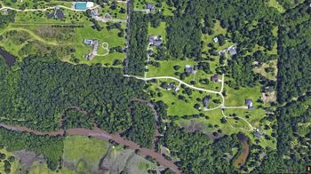
A Google Earth map shows the White Oak Road neighborhood of Tom Clary before Tropical Storm Harvey and a satellite photo by the National Oceanic and Atmospheric Association shows the neighborhood a couple of days after the storm. The green roof at top left is Clary’s workshop, behind his home. RECORD PHOTO: Dave Rogers
